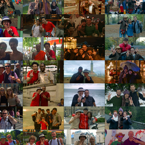
HUFFPOST – 日本
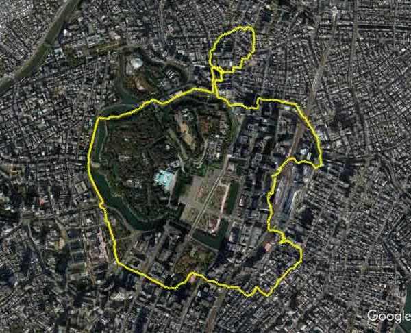
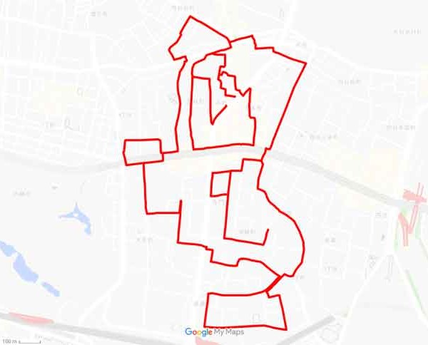
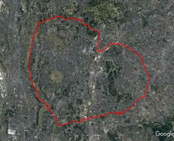
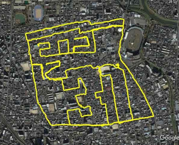
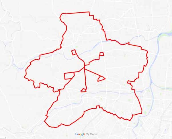
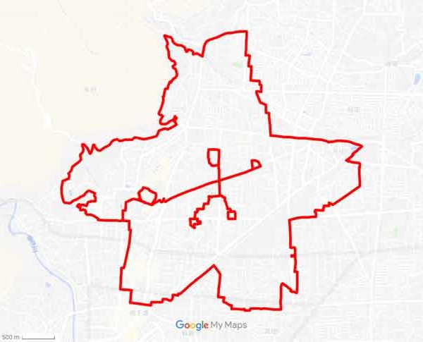
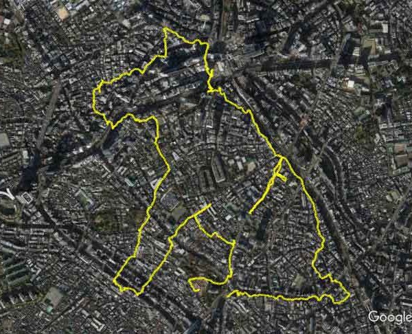
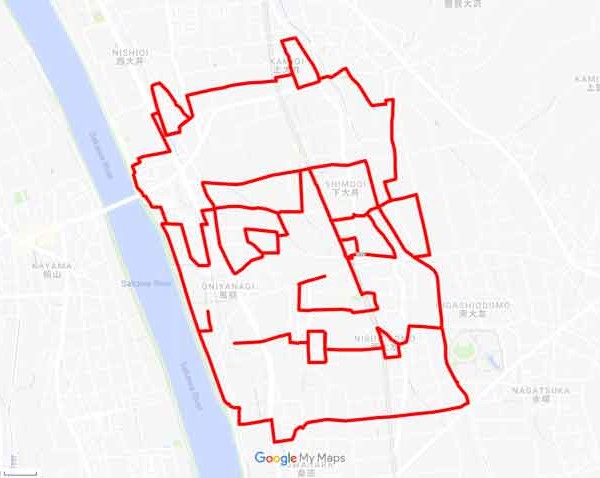
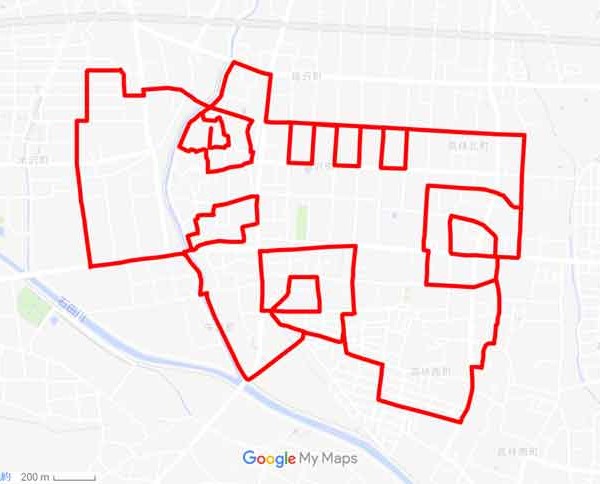
オリンピック競技をGPS機能で描いた。レスリング川井梨紗子選手も驚く「お絵かきラン」
Konbini Sports – イングランド
Le GPS-drawing, cette pratique qui transforme votre footing en œuvre d’art
BOL News – パキスタン
Shocking marriage proposal 30,000 ft above the sky
South China Morning Post – 香港
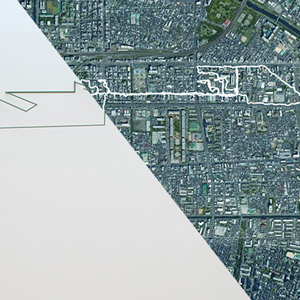
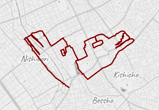
Marry me! Man makes world's biggest proposal with a little help from GPS
The Week – 米国
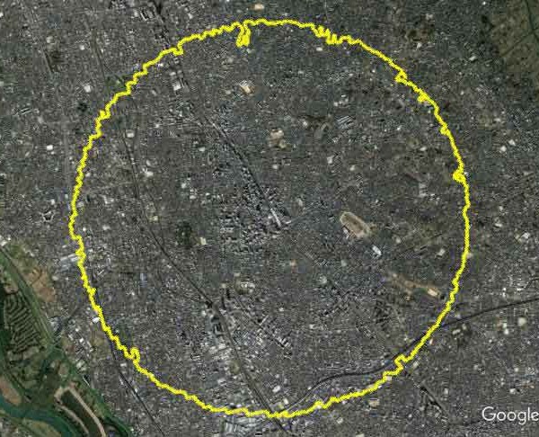
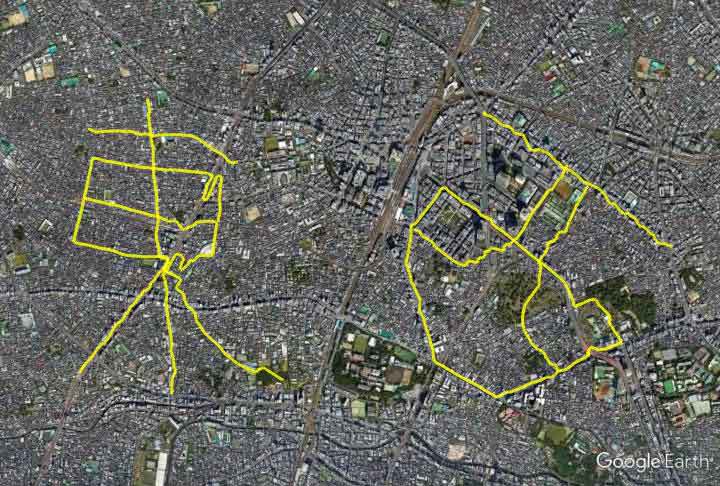
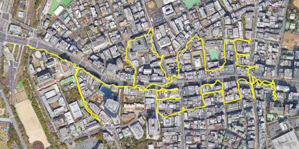
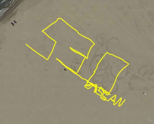
Man treks 4,000 miles to propose
Mango Zero – タイ
รักแท้ไม่แพ้ระยะทาง! หนุ่มญี่ปุ่นเดินทางกว่า 7,163 กิโลเมตร สะกดคำว่า “แต่งงานกันเถอะ” บน Google Earth เพื่อขอสาวแต่งงาน
20 Minuten – スイス
Grosse Liebe – 7000 km langer Heiratsantrag
文学城
步行4451英里 男子在全日本写下一句“嫁我”求婚
R101 – イタリア
PROPOSTA DI MATRIMONIO CON GOOGLE EARTH
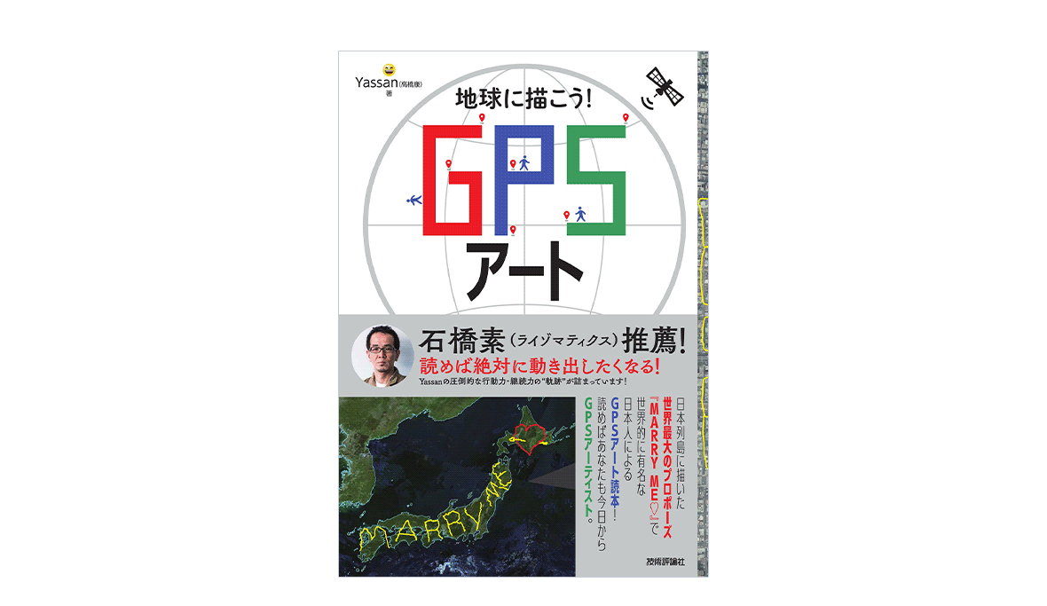
Google
Google Earth を使ってギネス認定の壮大なプロポーズをした GPS アーティスト
Navbharat Times – インド
गर्लफ्रेंड को प्रपोज करने के लिए लड़के ने अपनाया सबसे अनोखा तरीका, लोग पूछ रहे हैं - क्या उसने हां कहा?
HEAD TOPICS – 米国
Japanese man travels 4,000 miles to spell ‘marry me’ on Google Earth
Free Press Journal – インド
Viral: Japanese artist travels to make the world’s most unique wedding proposal
BeritaSatu – インドネシア
3 Kisah Lamaran Terniat dan Unik yang Bisa Jadi Inspirasi
Ladyzone – ブルガリア
Мъж измина 7000 км, за да направи предложение за брак, което се вижда и от космоса